Geocaching
Geocaching is the magic formula that makes hiking enormously exciting.
It can best be described as a modern treasure hunt. A “cache” stands for a treasure that is marked with geo-coordinates.
To find the treasures in the LIVINGROOM Hochkönig you need a simple GPS device, the coordinations and description of the treasure. Enter the geocoordination into the GPS device and just let it guide you to the treasure!
You can get a GPS device and the description of the treasures at the reception in the Arthur House. Simply read the description of the treasures, enter the geo-coordinates into the GPS device and start hiking.
You can find all geocaches on the Hochkönig on the official geocaching website:
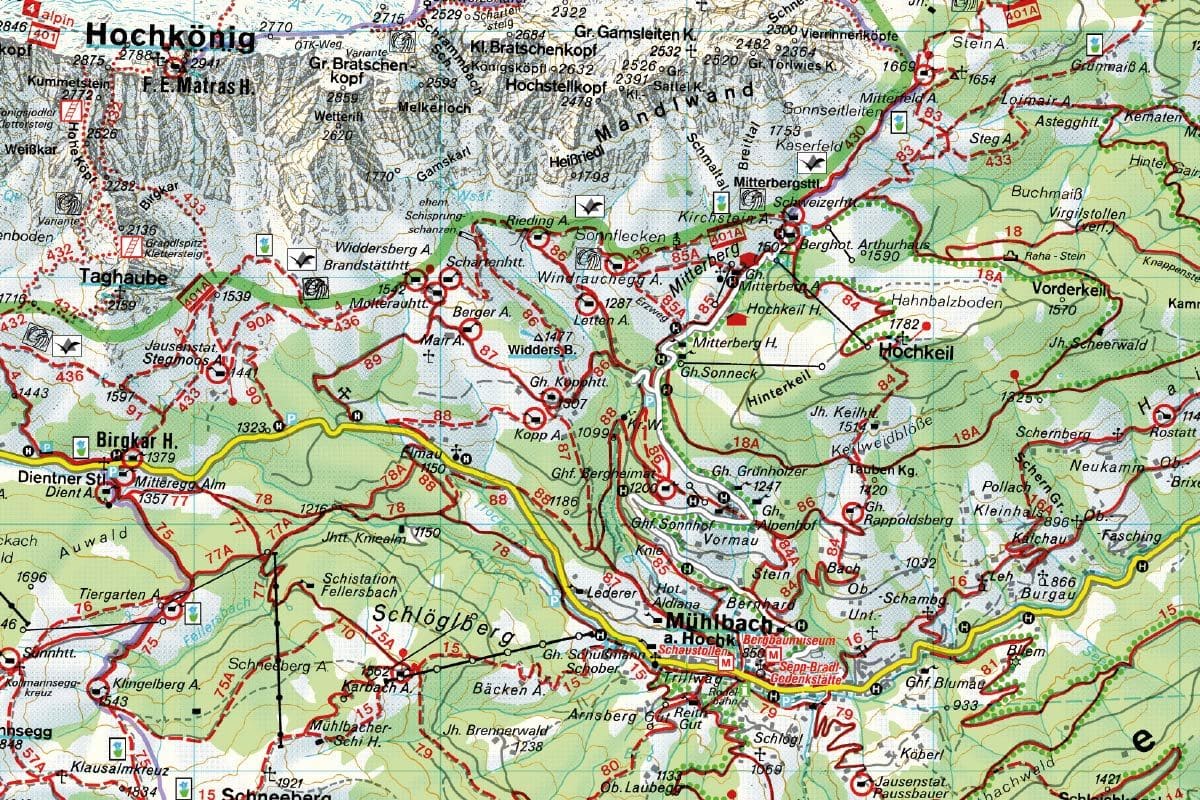
Caches around the mountain hotel Arthurhaus
- I believe I can fly N 47° 24.574 E 013° 07.697
- The Great Wall of China at Hochkeil N 47° 24.034 E 013° 08.076
- The ways of the Lord are mysterious N 47° 24.142 E 013° 08.465
- Maschinendoserl N 47°24.262 E 013°07.359
- And daily greets the groundhog N 47° 24.627 E 013° 06.470
- The Four Huts on the Hochkönig N 47° 24.059 E 013° 05.383
- A1 – No chance for avalanches N 47° 24.759 E 013° 07.524
- A2 – There is a little mountain stream N 47° 24.808 E 013° 07.789
- Near the Mitterfeldalm N 47° 25.427 E 013° 08.201
- Near the Windraucheggalm N 47° 24.488 E 013° 06.872
- At the Kopphütte N 47° 23.866 E 013° 06.228
Caches in Mühlbach am Hochkönig
- Bambi’s secret N 47° 23.771 E 013° 04.413
- At the crunchy house N 47° 23.901 E 013° 04.141
- At the mountain home N 47° 23.544 E 013° 06.867
- Christ-l-tree N47°24.699 E 013°08,506
- The rotten root in the forest N 47° 23.645 E 013° 06.756
- Family hike to Pronebenalm 1 N 47° 22.095 E 013° 08.430
- On the way to Erichhütte N 47° 23.925 E 013° 02.471
- Hochkönigsjodler Cache N 47° 25.085 E 013° 03.185
- The cottage by the stream N 47° 23.757 E 013° 08.312
- Schneeberg N47°22.163 E 013°04.406
- The old mill on the mill stream N 47° 22.622 E 013° 07.305
- At Rohrmoosriedel N 47° 22.794 E 013° 07.280
- At the moated castle N 47° 23.214 E 013° 06.474